Egypt > Luxor City & Misc West Bank > Luxor West Bank EG96720812jhp
Images in this gallery cover modern Luxor, general agriculture and photos not specific to other groups such as the recent excavations of the Sphinx Avenue, the alabaster factory and workers and the residential houses bordering the various roads to the main sites. It also includes the balloon flights and views from the balloon.

© Jim Henderson
| Photographer: | Jim Henderson | |||
| Collection: | Luxor City & Misc West Bank | |||
| Filename: | Luxor West Bank EG96720812jhp |
|||
| Upload Date: | 2016-01-27 20:18:01 | |||
| Photo Size: | 10mb 5385x3520 pixels | |||
| Preview: |
|
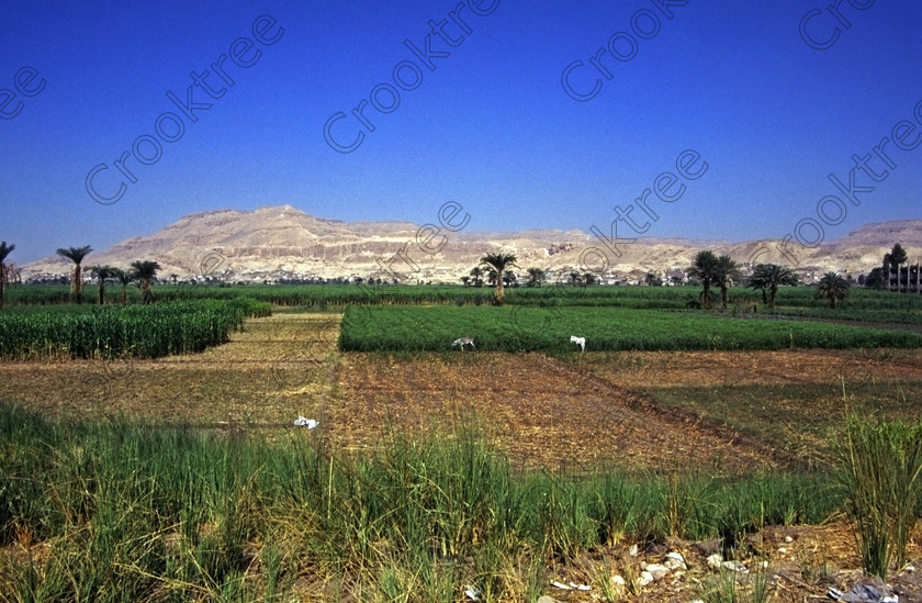
| Caption: | Egypt Luxor West Bank Qurna River Nile dates Hatshepsut cropsgreen taken in 1994 so from near the ferry crossing at Qurna al-Gaddah which was the option in those days from getting across the Nile looking across this fertile plain to the Theban Hills and in the direction of Hatshepsut Temple. Today the preferred method for package tours for crossing the River Nile is by the new southern road bridge and then heading north and westwards towards the main ancient sites of the West Bank. The scene is also a reminder of the wealth that was the engine that created ancient Egypt because of the fertility bordering the River Nile caused by the annual inundations with the flood waters depositing fertile mud giving abundant food sufficient to feed the large transient labour force required to build these huge monuments from Giza, Memphis, Thebes and southwards to Abu Simbel. Today fertilisation of the river farmland is by artificial means and of course has an impact on the Egyptian import bills. |
| Keywords: | Egypt, Luxor, West, Bank, River, Nile, Theban, hills, holiday, travel, tourism, cruise, history, landscape, archaeology, Egyptology, temples, Hatshepsut, tombs, agriculture, Egyptians, farmers, farming, fields, mud, fertile, fertilisers, water, irrigation, crops, maize, corn, sugar, cane, donkeys, cattle, palm, trees, dates, vegetables, green, brown, tractors, ploughing, Qurna, landscape, 1994, slide, film, 35mm, format, Nikon, FM2, manual, daylight, scanned, scan |
